Residential changes of Prague Inner City
(2001 – 2011)
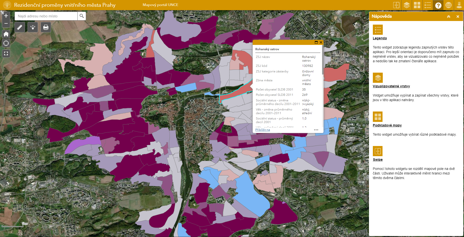
The map application illustrates neighbourhood trajectories of Prague inner city by visualizing changes of residents’ social status and age structure. Prague inner city consists of an area between the historical centre and socialist housing estates. Its residential changes are determined by various mechanisms leading to diverse trajectories of individual localities and fragmentation of physical, functional and social structures. The application aims to show variability of residential changes which the Prague inner city has been undergoing since 2001 at the level of basic settlement units (BSUs). The main outcomes are typologies of BSUs according to their residents’ social status and age structure between 2001 and 2011, and typologies of their change during this decade.